The 285-hectare Lagoon Farm site was formed during the 1931 Napier earthquake, which uplifted the bed of the former 4,000-hectare Te Whanganui-a-Orotū | The Great Bay of Orotū. This dramatic geological event transformed a once-thriving estuarine ecosystem into a coastal plain, which was subsequently drained and developed into pastureland over time.
Although the site is protected by stopbanks, its low-lying nature makes it vulnerable to flooding and a rising saline water table along the estuary margin. All development and infrastructure needed to be designed with resilience and adaptability in mind, to accommodate sea level rise and more extreme weather events in the future.
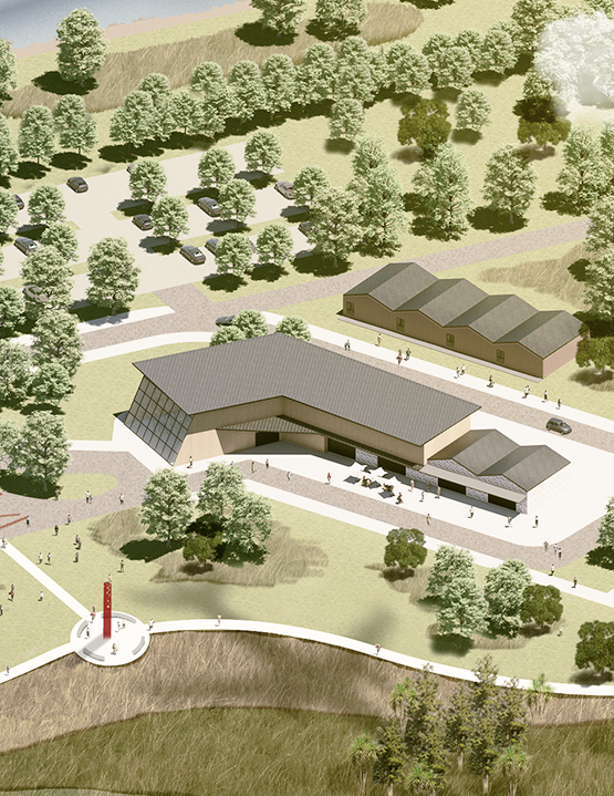
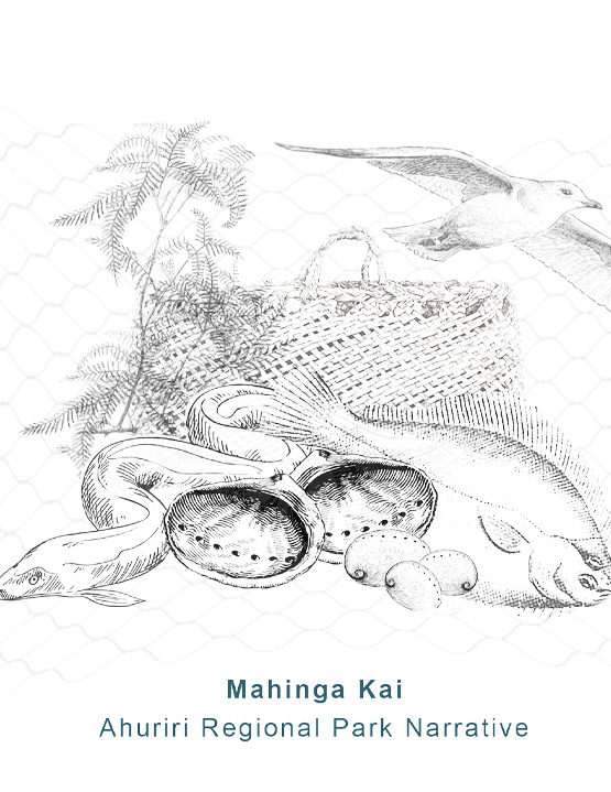
The heart of the masterplan is developing an extensive stormwater treatment wetland system. This system is designed to filter urban stormwater before it reaches the estuary, improving water quality and enhancing climate resilience. Beyond water treatment, the park aims to revitalise the landscape through ecological restoration, the revival of mahinga kai practices, cultural storytelling, and the creation of environmentally sensitive recreational spaces that serve both current and future generations.
The masterplan had to balance the needs of ecological restoration and infrastructure with recreational and potential commercial uses. It also had to mitigate risks, such as increased bird strike hazards for Hawke’s Bay Regional Airport operations and disruption to existing and future ecological values.
The design process was deeply collaborative. A range of design scenarios was explored and assessed through multi-criteria analysis, ensuring alignment with the project’s overarching goals and values.
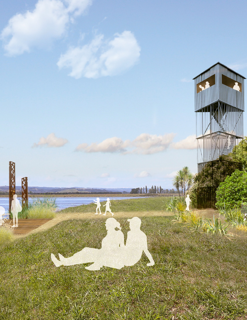
The resulting preferred concept envisions an interwoven landscape that strikes a careful balance between ecological restoration and opportunities for recreation and commercial activity. Key activity zones are concentrated on the southern edge of the site, linked by a network of paths and trails to smaller, more passive recreation areas nestled within restored coastal forest, shrubland, and wetland habitats across the rest of the park.
A flexible, phased implementation strategy enables the project partners to adapt development stages based on available funding. This approach also opens the door for partnerships with local community groups, NGOs, and private or commercial organisations to co-develop individual facilities, programs, and planting initiatives as part of the park’s broader ecological and cultural restoration vision.
Boffa Miskell provided landscape architecture, cultural design, and engagement services for the project, working in close collaboration with the Napier City Council project team. Our approach drew on extensive experience in regional park masterplanning across Aotearoa, complemented by deep local knowledge and familiarity with the Ahuriri site and its unique context.
We employed a co-design process that aligned with the project’s co-governance principles. Guided by our internal cultural design framework, Te Whakawhitinga, we sought to develop landscape solutions that enhance the mauri of the environment. This integrated and iterative process actively involved mana whenua, resulting in a park design grounded in whakapapa, that enriches the natural environment and delivers an innovative and educational regional park experience.