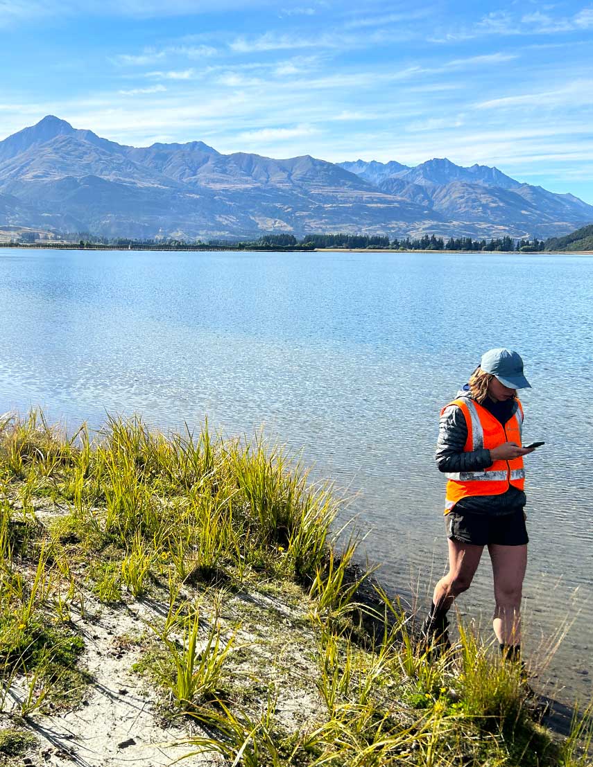
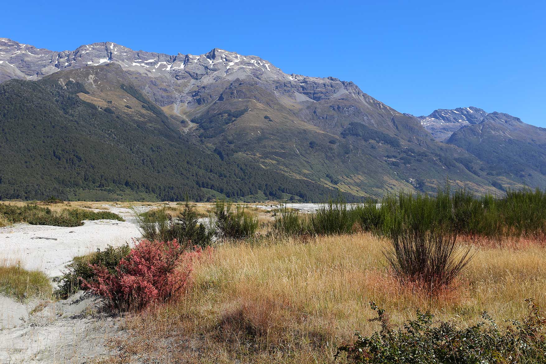
Boffa Miskell developed a 10-year weed management strategy, providing a practical, catchment-wide framework to guide weed management. Developing the strategy required extensive aerial and ground-based surveys across more than 100,000 hectares of riverbed, wetlands, floodplains and adjacent habitats to identify and map weed distributions. During surveys, teams also removed low-density weed infestations, preventing their spread into otherwise pristine landscapes.
The strategy identifies priority species and emerging threats, assesses ecological values at risk, and provides a prioritised programme of control actions, establishing a framework that aligns with regional pest management objectives and prioritises biodiversity outcomes. An online GIS-based mapping platform was developed to support future management and monitoring.
The Route Burn was identified as an early priority for action due to scattered infestations that posed a risk to the wider Dart catchment. In 2026, an Otago Regional Council-funded programme managed by Boffa Miskell successfully removed known weed infestations from the Route Burn, one of the strategy catchment’s more intact tributaries.
The strategy provides a practical, evidence-based framework for protecting braided river habitats, helping secure investment, coordinate management efforts, and deliver on-the-ground outcomes across the catchment. By aligning programmes and sharing contractors, control work is being delivered more efficiently, reducing travel and management costs while achieving broader catchment outcomes.
Video by Otago Regional Council: Protecting the Routeburn, one weed at a time