Adding data adds value
10 June 2014
A request to make GIS river data more accessible for stakeholders led to a further field data tool being added, with considerable benefits.

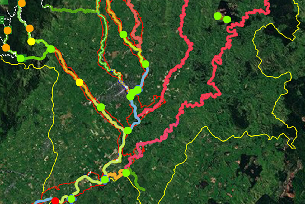
“Originally we asked for a way to see layers of GIS river information on mobile devices in an easily used, visually appealing format, when out working with stakeholders,” explains Alistair Allan, Senior Projects Engineer, Flood Protection at Greater Wellington Regional Council. ”That idea expanded when Boffa Miskell suggested that we could also upload information directly from mobile devices, to avoid having to enter field data again back in the office.”
Boffa Miskell was engaged to develop the new GIS tool for use on the Wairarapa-based Te Kā-uru Upper Ruamāhanga Floodplain Management Plan project.
The starting point was to interview key stakeholders and convert available information on recreation, cultural, heritage, landscape, ecology and other values into mapping layers, using ArcGIS Online. This was then expanded by further desk top and field based assessment. Boffa Miskell used this database to support a phase one report, setting out environmental values associated with the upper Ruamahanga River.
How it works
Users log in on their iPad devices to access the database, which is published to the ‘cloud’. They can then access a series of map layers, which can be turned off and on via a simple menu. A blue dot locates the user within the map.
GIS knowledge is not required to use the tool, which is made more user-friendly still by using non-technical language. Authorised users can update information direct to the database from wherever they are, by adding points and polygons representing location specific information and uploading photos.
“This tool has gained a lot of support in Council at both the officer and political level,” Alistair says. “We’ve been gathering this sort of information for years but it’s now been made easily accessible to everyone and we’re keen to develop more datasets for other rivers in the region.”

